

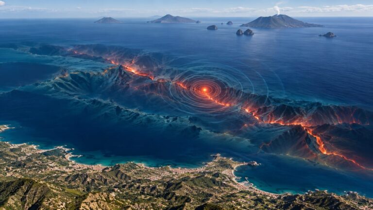
The sea continues to shake between Sicily and the Aeolian Islands. After the strong earthquake on Friday 23 October, a long sequence of tremors affected the southern Tyrrhenian Sea even during the night. The phenomenon is concentrated in a sea area north-west of the Aeolian archipelago, between Alicudi and Ustica, where the earth moves under the pressure of two gigantic tectonic plates: the African one and the Eurasian one. The strongest shock, recorded on Friday at 12.19pm, reached a moment magnitude of 5.5, with a hypocenter about 9 kilometers deep. It was preceded by an earthquake of local magnitude 4.3 at 11.51am and followed by another of magnitude 4.0 at 12.24pm. Dozens of lower intensity tremors continued during the night between Friday and Saturday.
But what is really happening under the Tyrrhenian Sea? An explanation comes from the National Research Council, which links the seismic swarm to a much larger geological phenomenon: the formation of a new plate boundary between Africa and Eurasia.
Because under the Tyrrhenian Sea the earth continues to shake
The explanation is contained in a study published in 2023 in the scientific journal Earth and Planetary Science Letters, signed by researchers Andrea Billi, Marco Cuffaro, Barbara Orecchio, Mimmo Palano, Debora Presti and Cristina Totaro. According to scholars, the Mediterranean is experiencing a transformation in the distribution of tectonic thrusts. The African plate continues to slowly move closer to the Eurasian plate, but the areas where this pressure is absorbed are changing. For millions of years the collision between the two plates has contributed to the formation of mountain chains, including those present in the interior of Sicily. That deformation system has progressively slowed down its activity. The push, however, did not stop. Part of the forces are moving further north, along the southern Tyrrhenian Sea, where they are being absorbed through a complex belt of faults.
It is precisely in this context that the seismic sequence that began in recent days takes place. Rocks under pressure slowly accumulate energy, and when a sudden rupture occurs along a fault, some of that energy is released in the form of an earthquake.
The new border crosses the Mediterranean to Gibraltar
The discovery concerns a much larger area than the stretch of sea off the Sicilian coast. The new tectonic limit hypothesized by scientists extends across the central-western Mediterranean. From the southern Tyrrhenian area it continues towards the northern coasts of Africa, affecting the margins of Algeria and Morocco, the Alborán Sea and the Strait of Gibraltar. It is not a single gigantic crack in the seabed, but a set of geological structures which, over very long periods of time, may become increasingly important in absorbing the convergence between continents.
The sequence is significant, but it does not allow us to establish whether a more intense shock will arrive. The presence of numerous shocks close together does not necessarily mean that a major earthquake is about to occur. At the same time, it does not allow you to exclude it. Scientists have yet to precisely identify the fault responsible for the main earthquake and reconstruct its characteristics.
There had also been concern about a tsunami warning, when after the main shock of 23 October the INGV Tsunami Warning Center sent a first message to the Civil Protection. At 12.29pm the alert level was upgraded to an orange alert, indicating the possibility of waves of less than 50 centimeters and a rise in coastal water of less than one metre. Subsequent checks on the data from the tide gauges of Strombolicchio and Ginostra made it possible to exclude that a tsunami was underway.
Does the Marsili underwater volcano have anything to do with it?
The southern Tyrrhenian Sea is also home to Marsili, one of the largest underwater volcanoes in the Mediterranean. But the presence of a volcano in the same geographical region does not mean that the tremors are of volcanic origin. The INGV had already addressed this issue after another strong earthquake which occurred on 2 June 2026 off the coast of Calabria, explaining that tectonic earthquakes and volcanic activity can depend on distinct geological processes. Even today, given the state of available information, there is no evidence to attribute the seismic sequence of 23 October to an awakening of the Marsili.
The earthquake of recent days reminds us that the Mediterranean remains a geologically active and continually transforming region. Under a sea that appears still, the continents continue to move closer, the rocks deform and the faults can suddenly release the accumulated energy. A tectonic process that develops on geological time scales, very different from human ones.